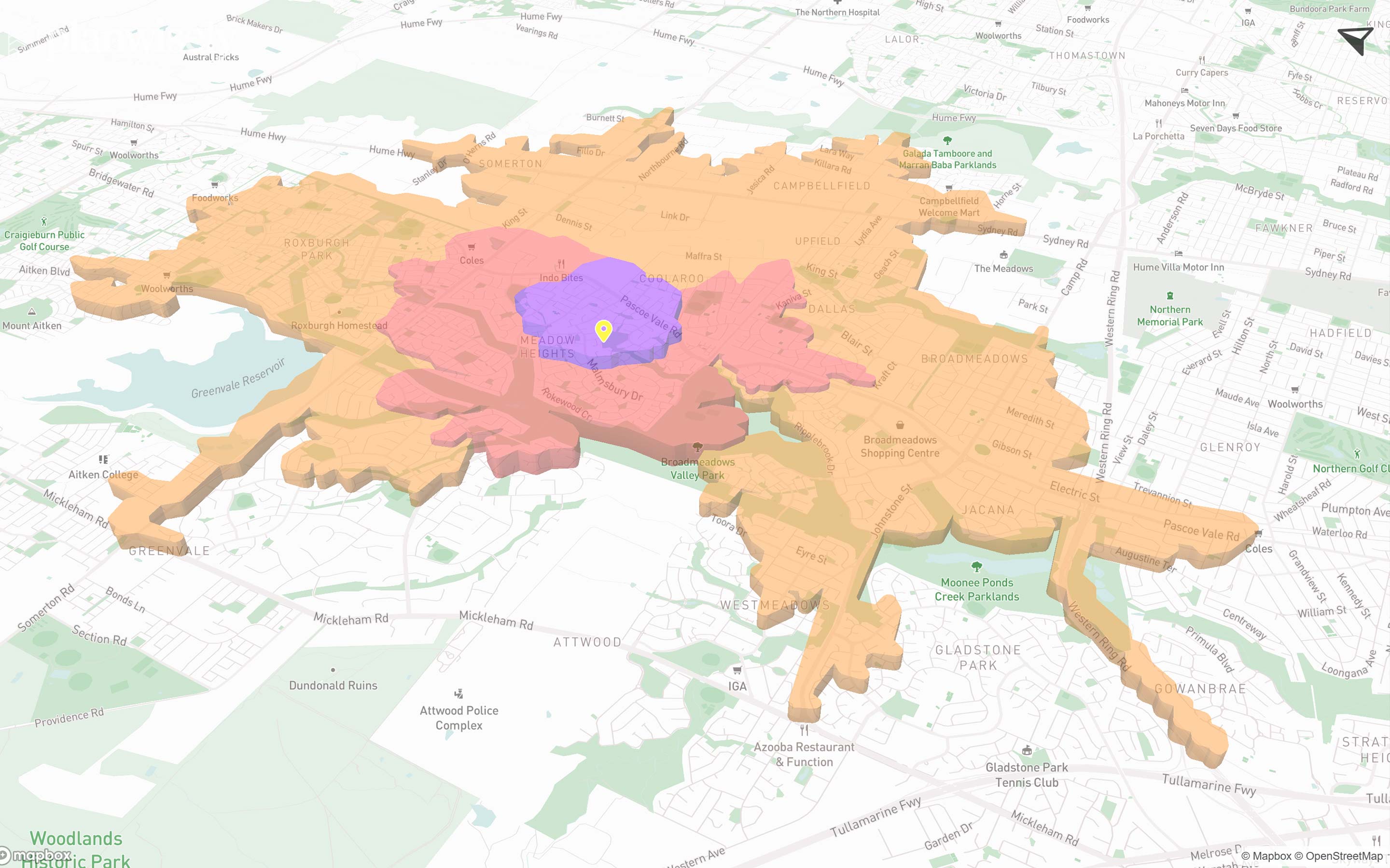
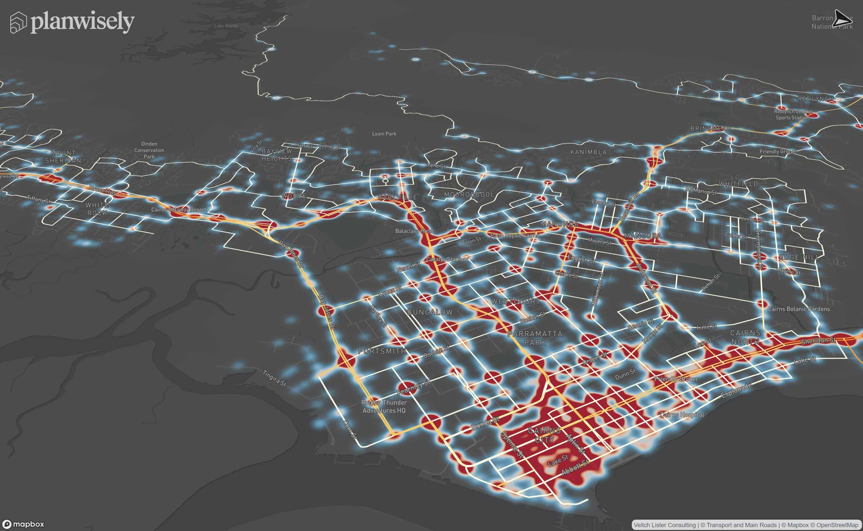
Adding local data allows you to securely visualise and analyse your own datasets within Planwisely.
If you have your own local GIS files (.geojson, .kml and zipped shapefiles) that you would like to visualise, you can use the local data upload feature to add your data to the map.
To add your own data, select the + icon in the Layers menu to locate and select your file to upload, or simply drag and drop your file onto the map.
Your uploaded local data will appear under Layers in the Local Data category and can be turned on and off using the checkbox. You can style your local data in the same way as any other layer on the platform.
Uploaded local data will be stored in your browser cache. This data will be accessible whenever you login using the same browser. Local data is not sent to our servers.
Recommended Articles
Adding your own local data
You can visualise and analyse your own datasets quickly and securely in Planwisely.

The catchment analysis tool
Analyse accessibility and generate demographic reports using Planwisely's catchment analysis tool.

Map controls and navigation
Discover the essentials on how to get around the map in Planwisely.


