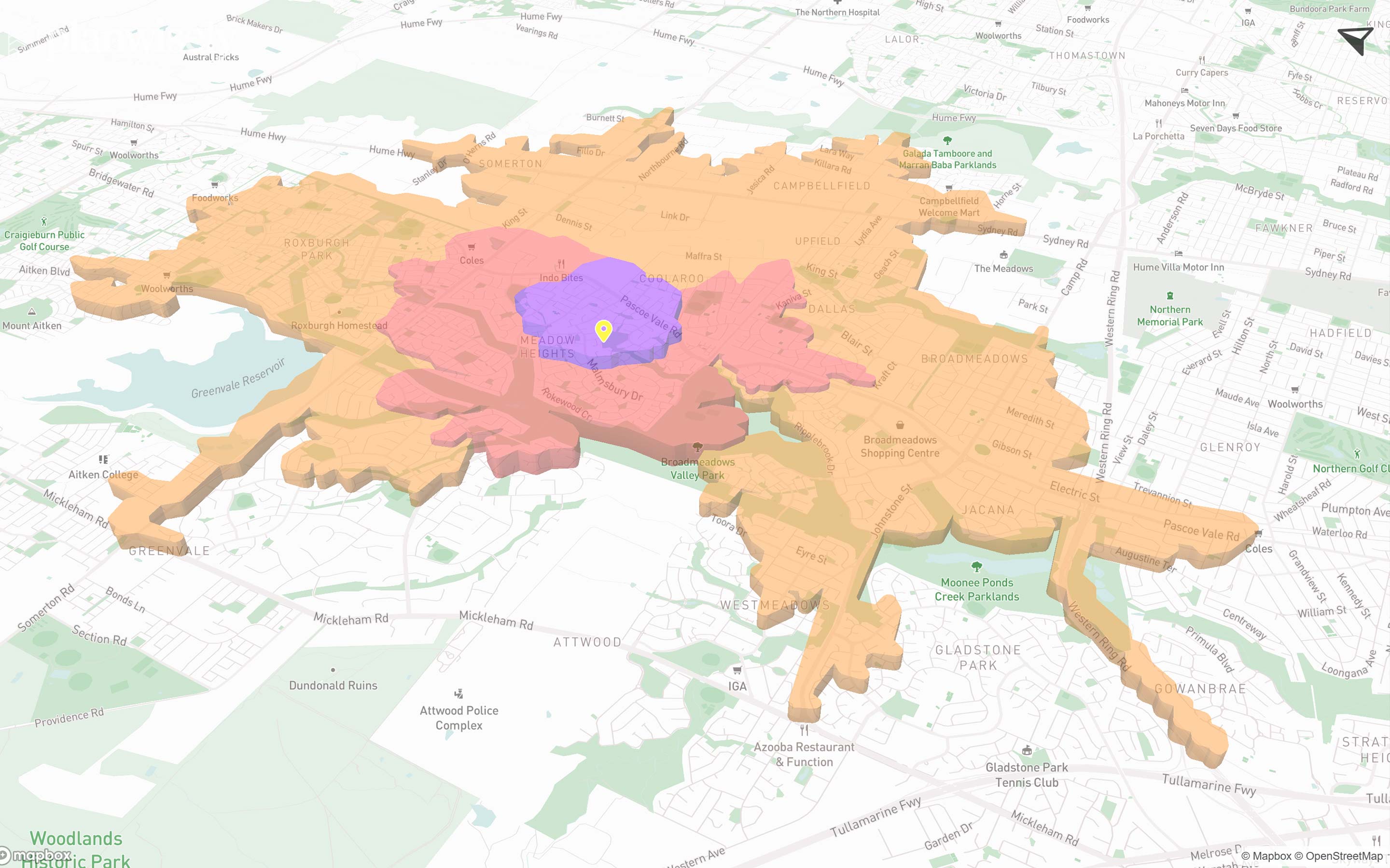
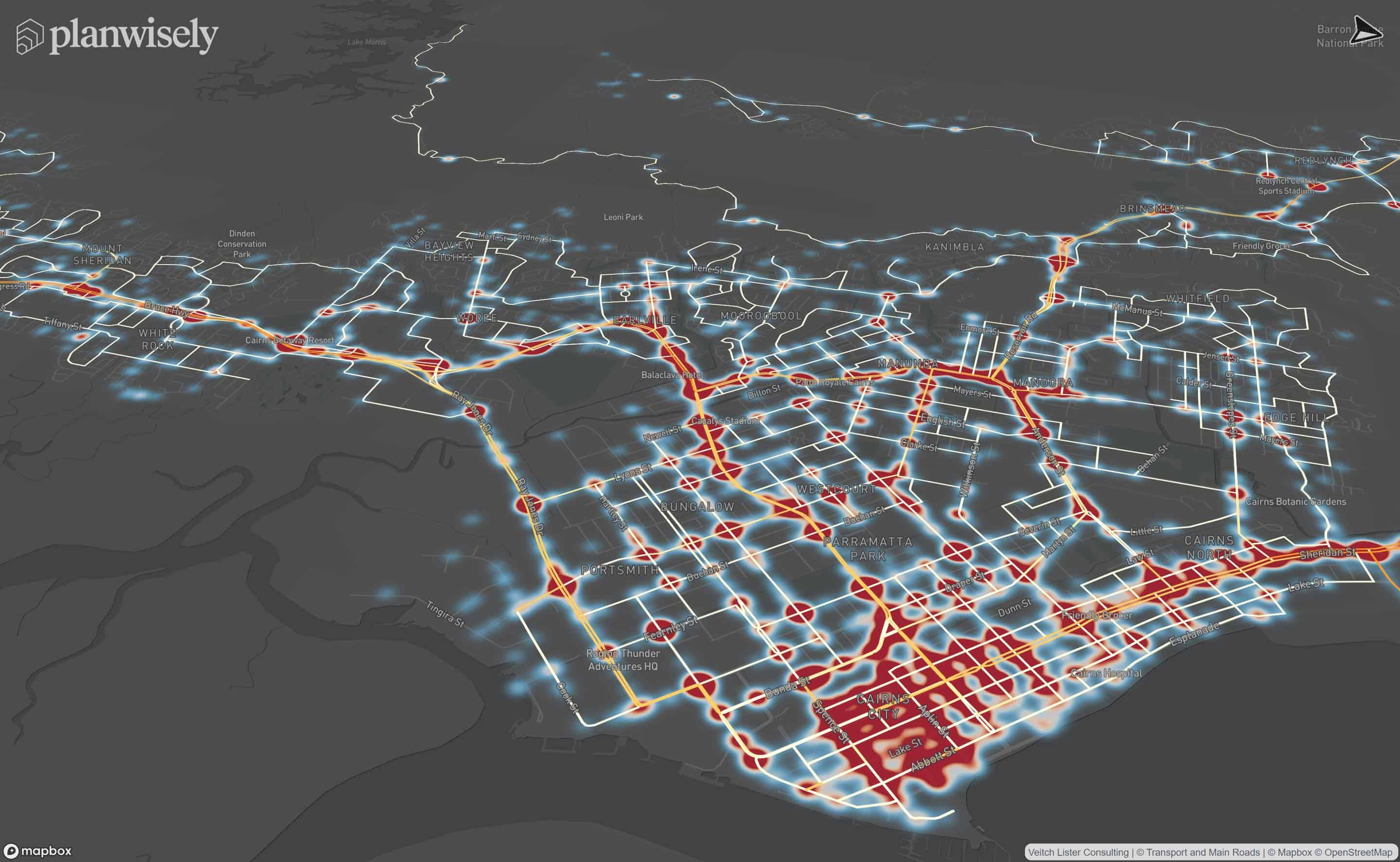
In Planwisely, you can activate any pre-existing Nearmap or Metromap licences you might have, allowing you to access highly detailed aerial imagery.
Nearmap is a provider of regularly updated high-resolution aerial imagery.
Nearmap aerial imagery is more granular and up-to-date than satellite imagery. Users can also view aerial imagery from previous updates using Nearmap in Planwisely, which is helpful to investigate changes over time to built and open space environments.

heading
Lorem ipsum dolor sit amet, consectetur adipiscing elit.
{{intro_rich_text}}
{{content_rich_text}}
Recommended Articles
Adding your own local data
You can visualise and analyse your own datasets quickly and securely in Planwisely.

The catchment analysis tool
Analyse accessibility and generate demographic reports using Planwisely's catchment analysis tool.

Map controls and navigation
Discover the essentials on how to get around the map in Planwisely.


